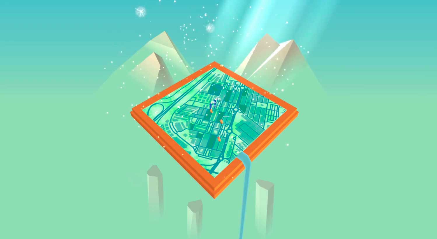
Android runner-shooter
Paperbot
An Android runner-shooter built end to end, from pencil drawings to a full progression system and connected Play services.
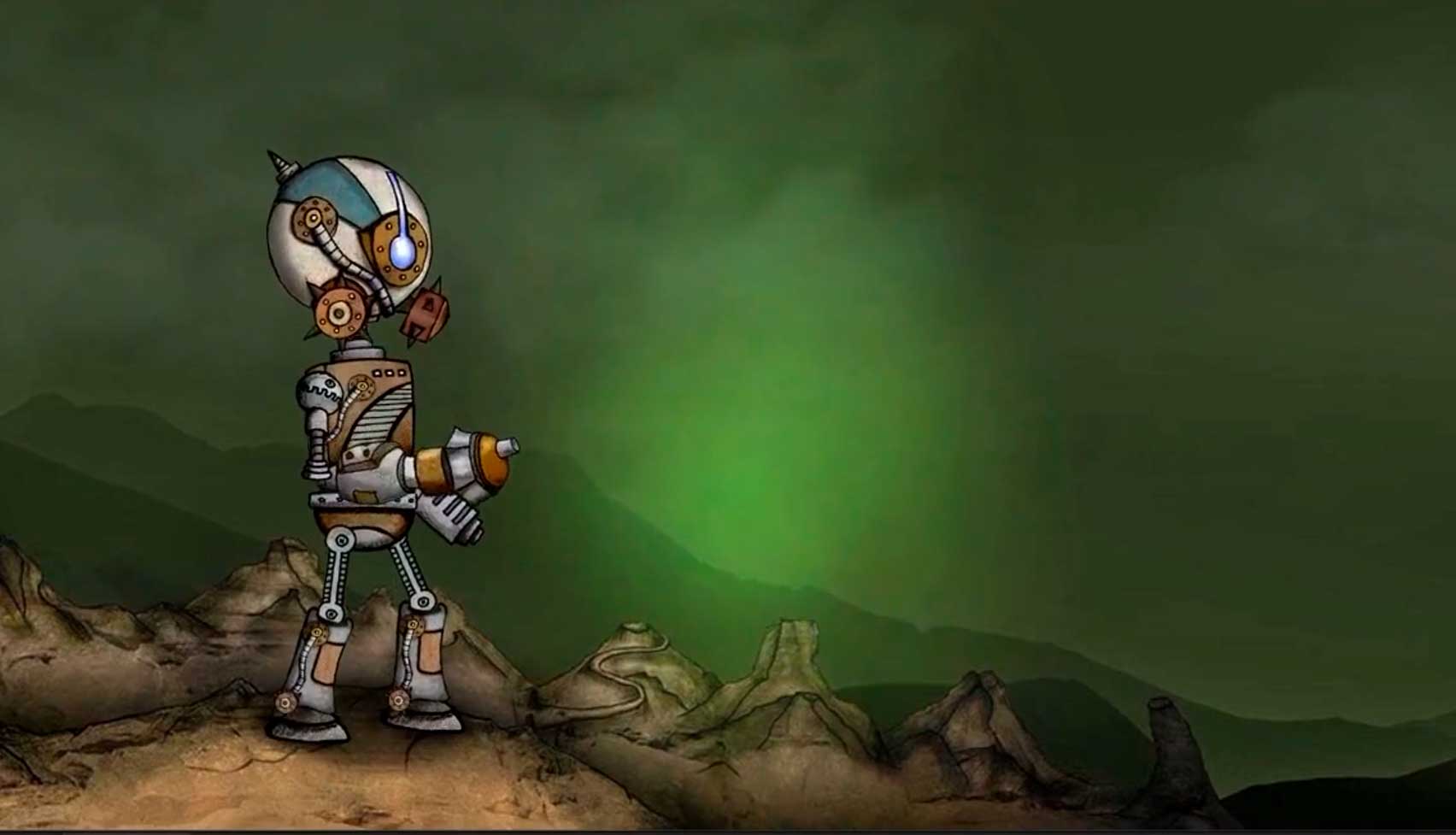
Drawn before it was digital
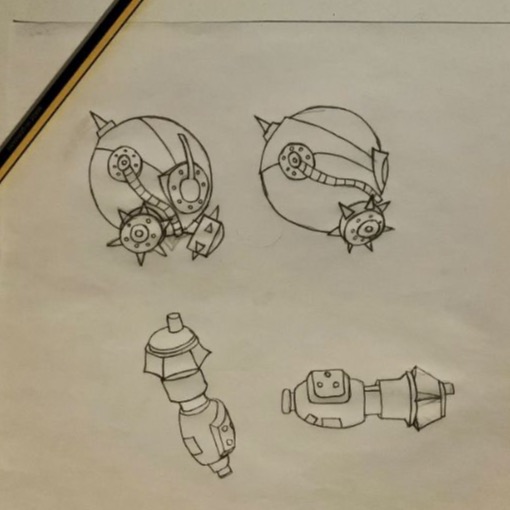
Paperbot started on paper. Characters, environments and interface ideas were drawn by hand, then edited, textured and animated for the game. The irregular quality of the original drawings stayed visible on screen rather than being cleaned away.
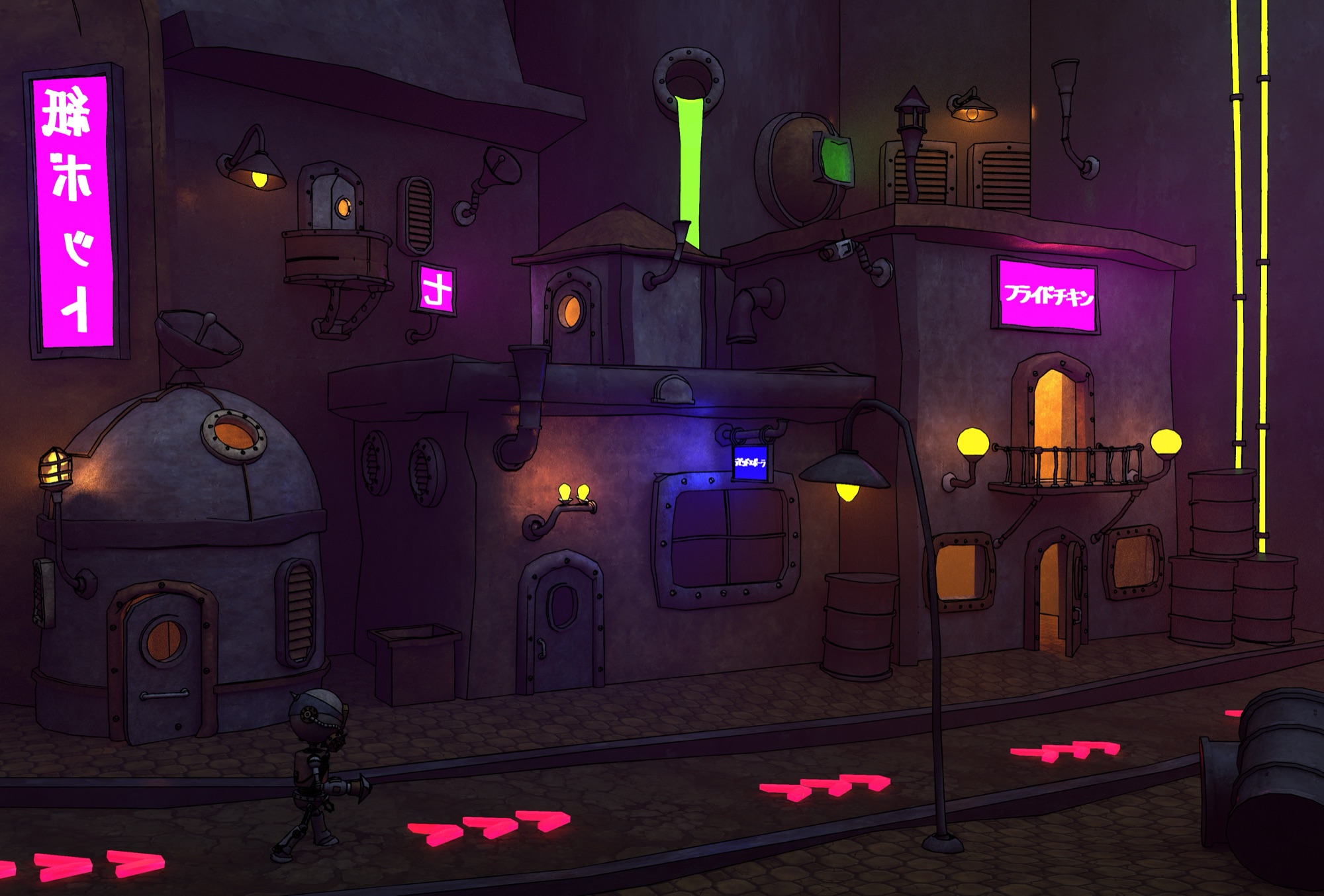
The project was developed in 2016 and later expanded into 3D character studies and a wider robotic-city concept. Neither of those replaced the original silhouette.
A complete runner-shooter loop
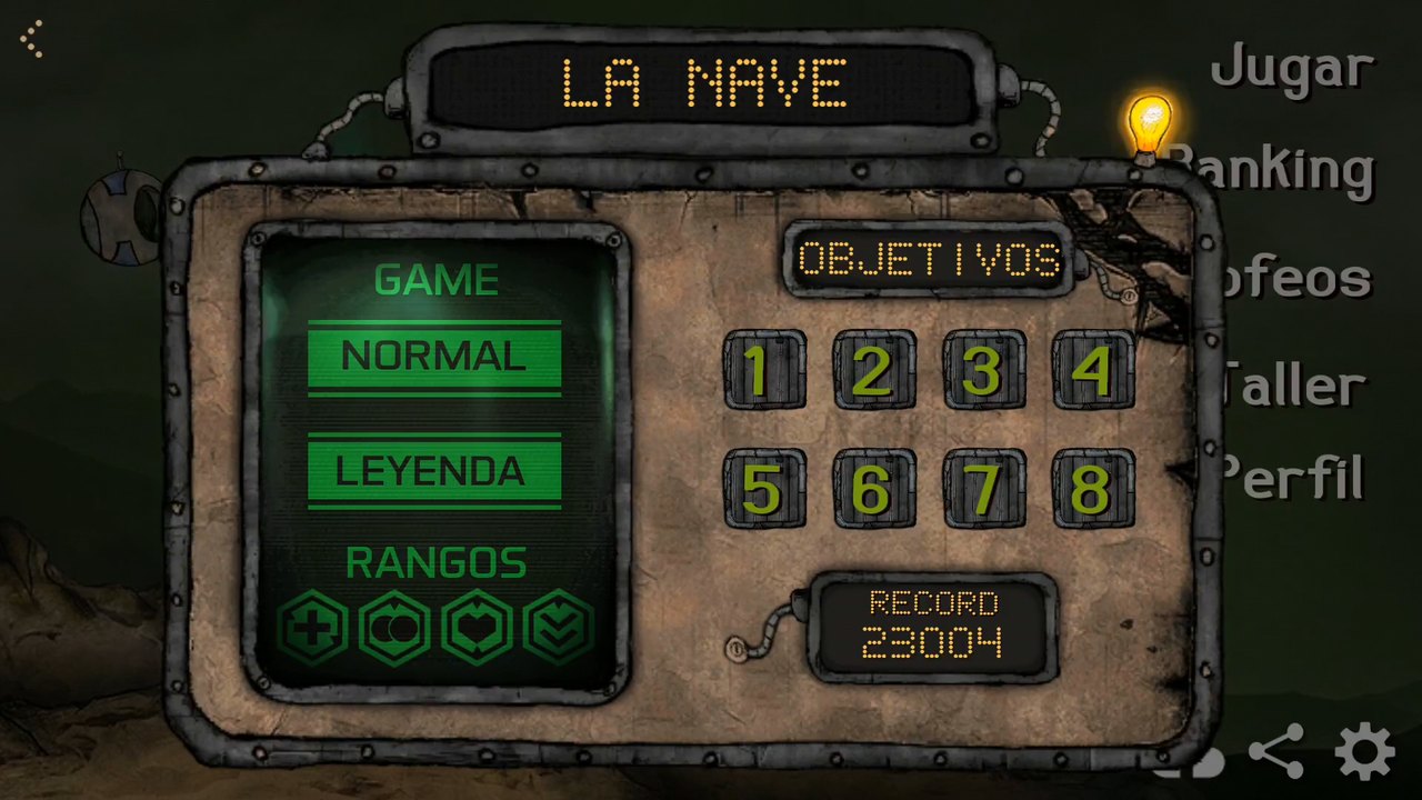
The playable game combined continuous movement, shooting, enemies, hazards and stage-specific navigation. La Nave, Cubierta and Descenso each used space differently, and objectives, difficulty levels and records gave every run a reason to exist beyond survival.
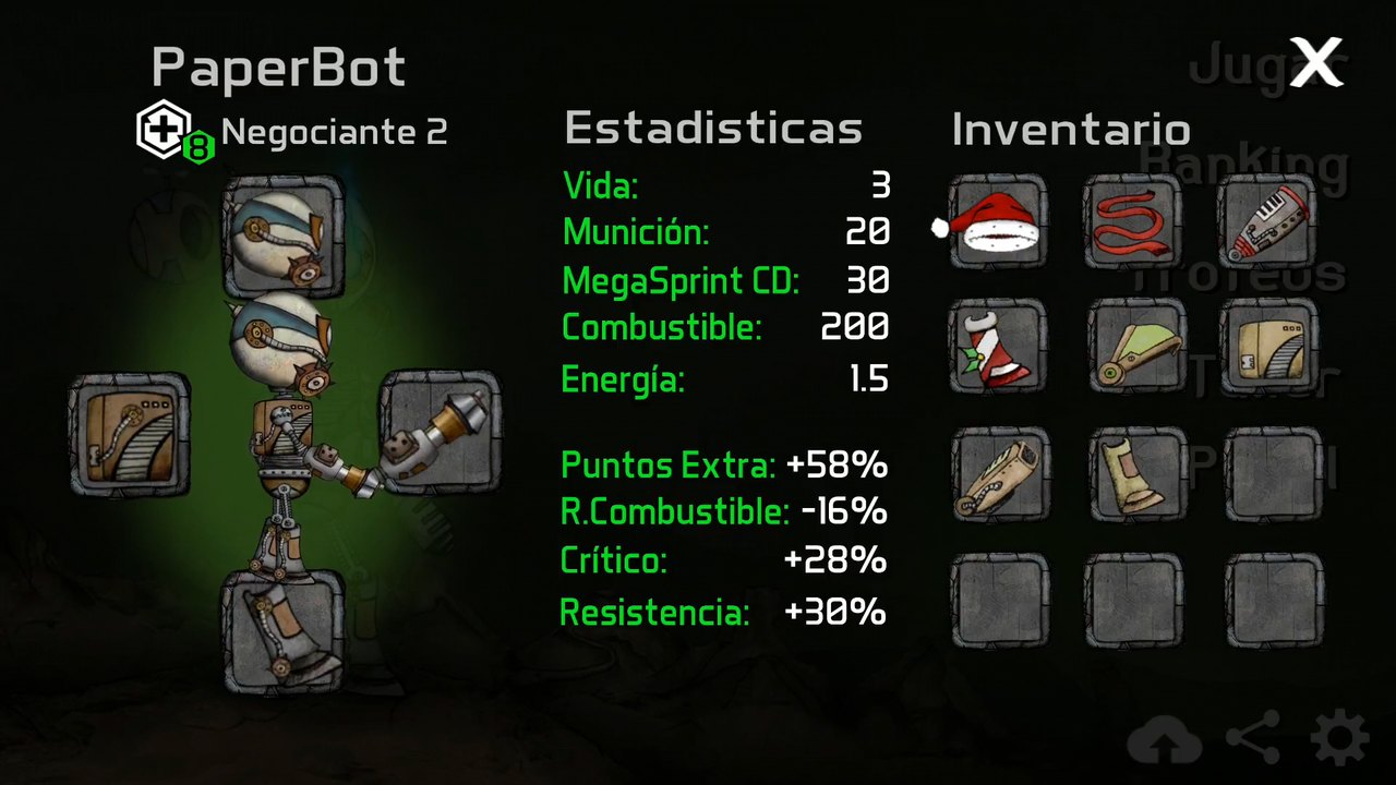
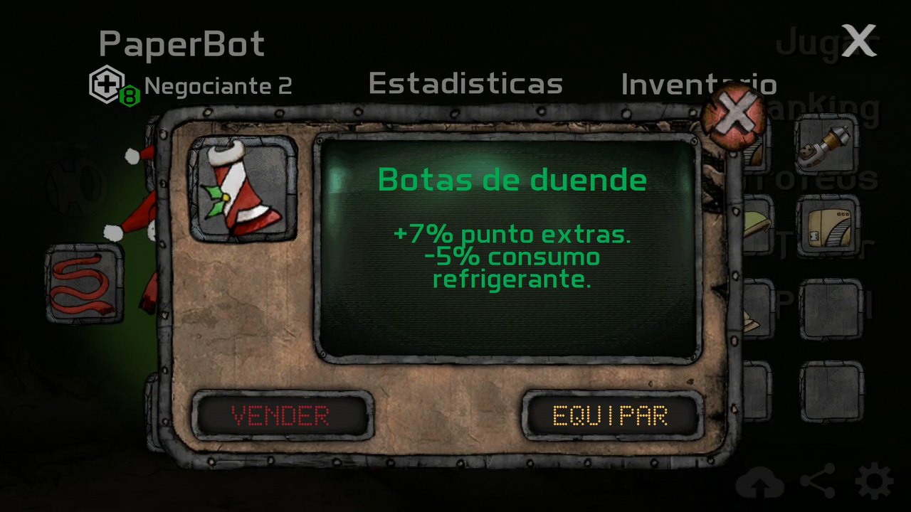
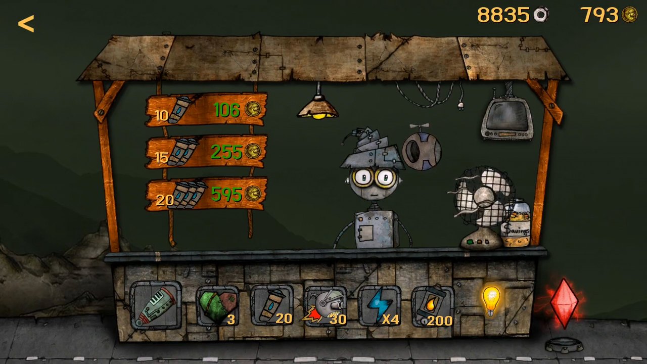
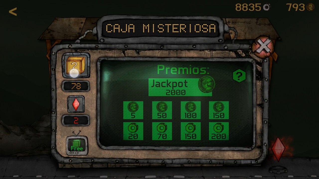
Mechanics, content and interface were built as one system. Character statistics, inventory, equipment, workshop upgrades, rewards and mystery boxes tied a single run to longer-term progression.
A connected mobile game
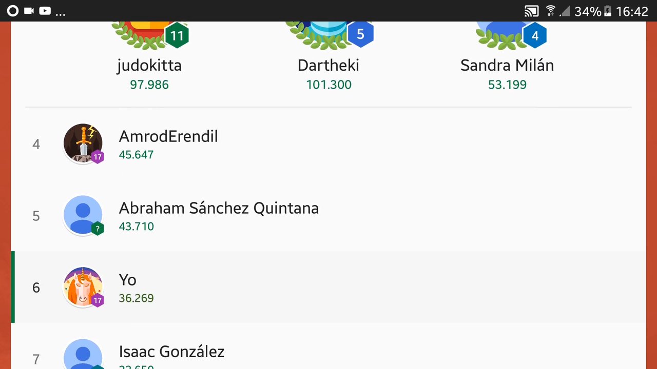
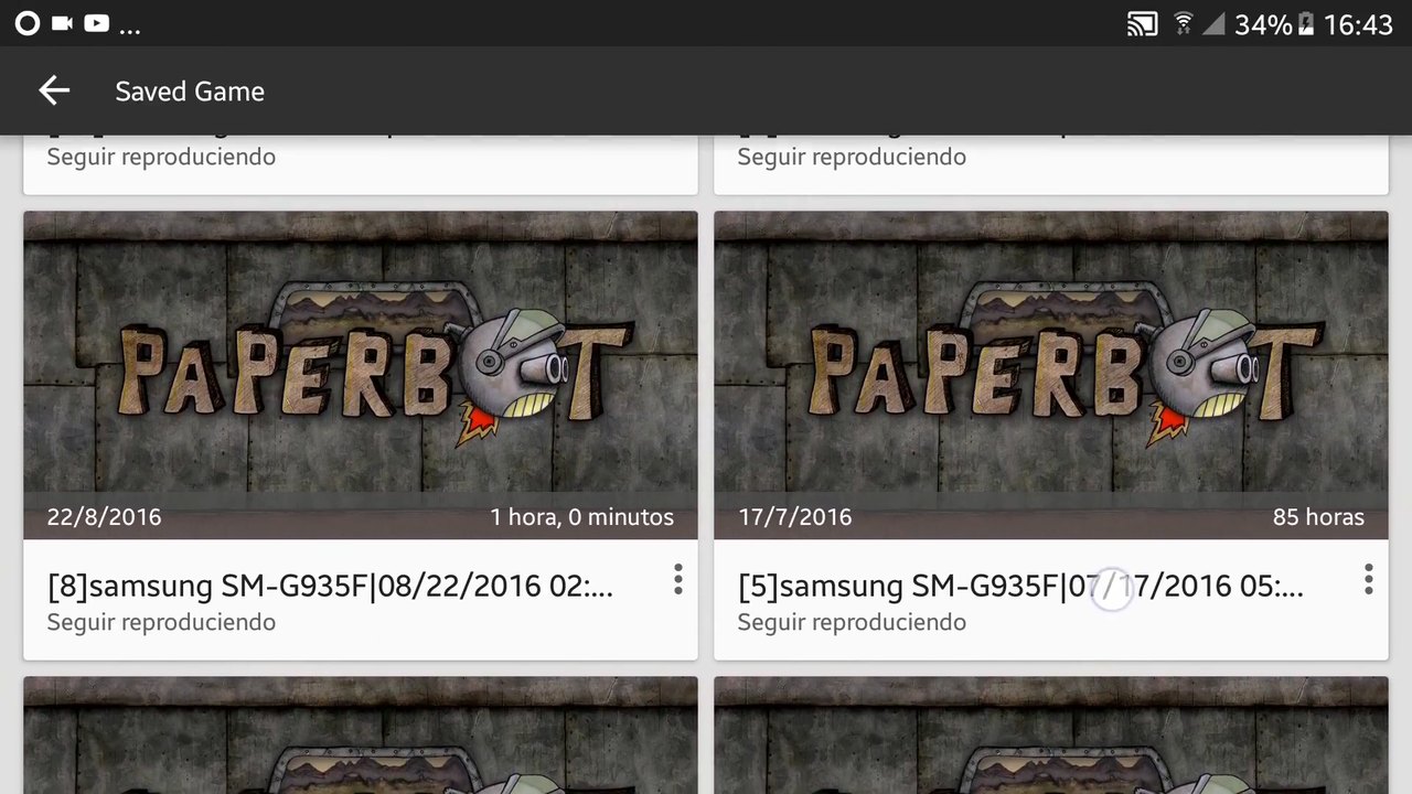
Paperbot also carried the services expected around an Android title: Google Play achievements, rankings and cloud saving. Events and additional content extended it past the initial release.
The game is available on Google Play.